
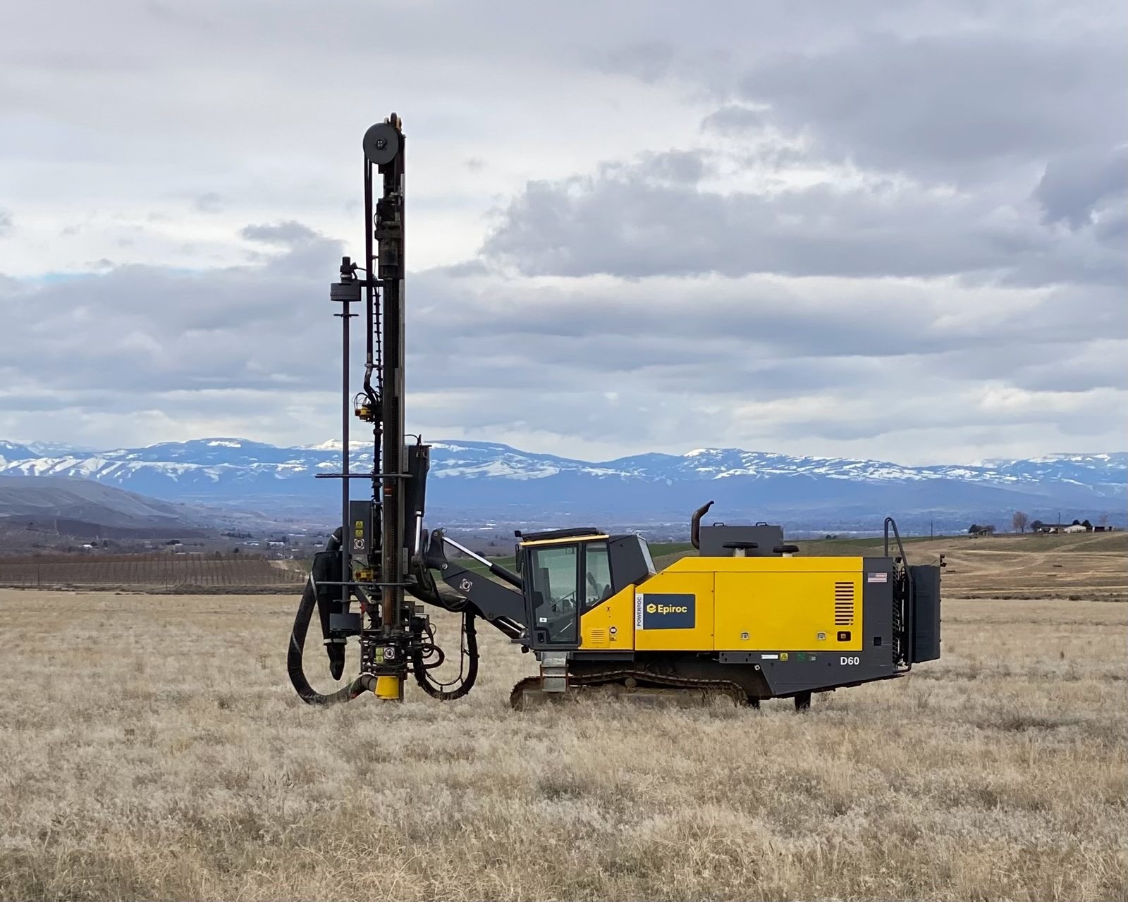
Seismic shot hole drilling. 4" to 6" seismic shot holes for oil and gas mapping, to the full depth capability of our rigs.
Seismic programs depend on holes drilled on location, on depth and on time, often across long lines in remote terrain.
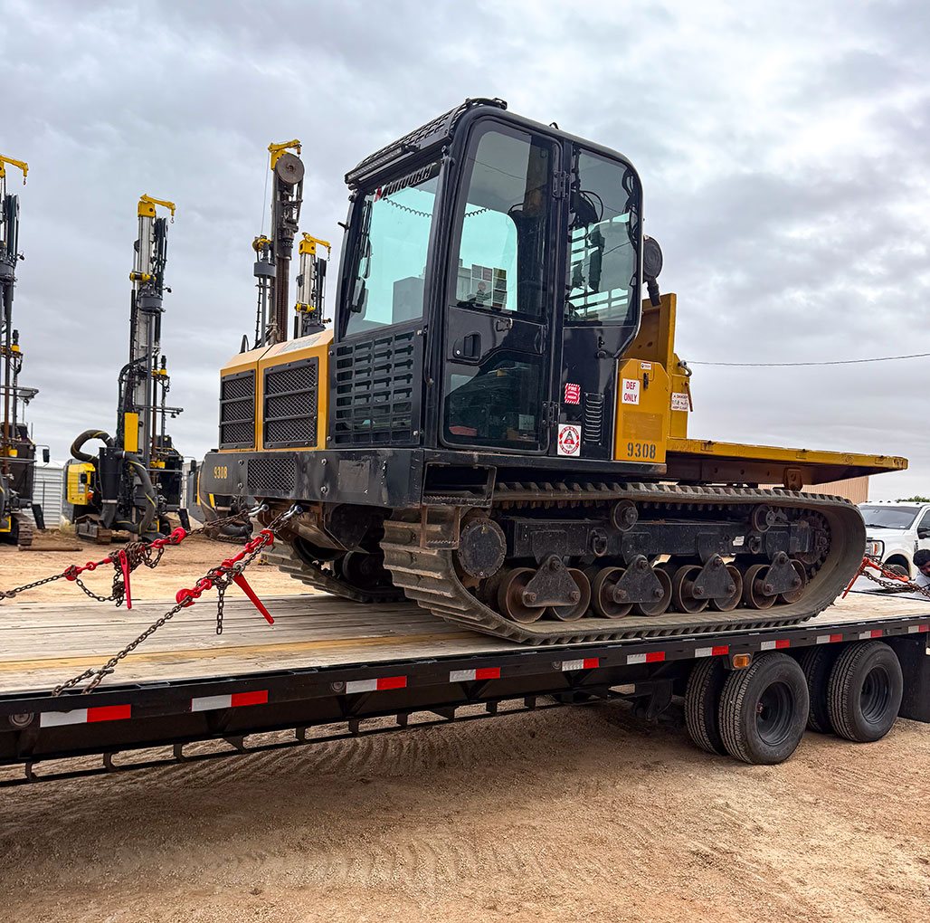
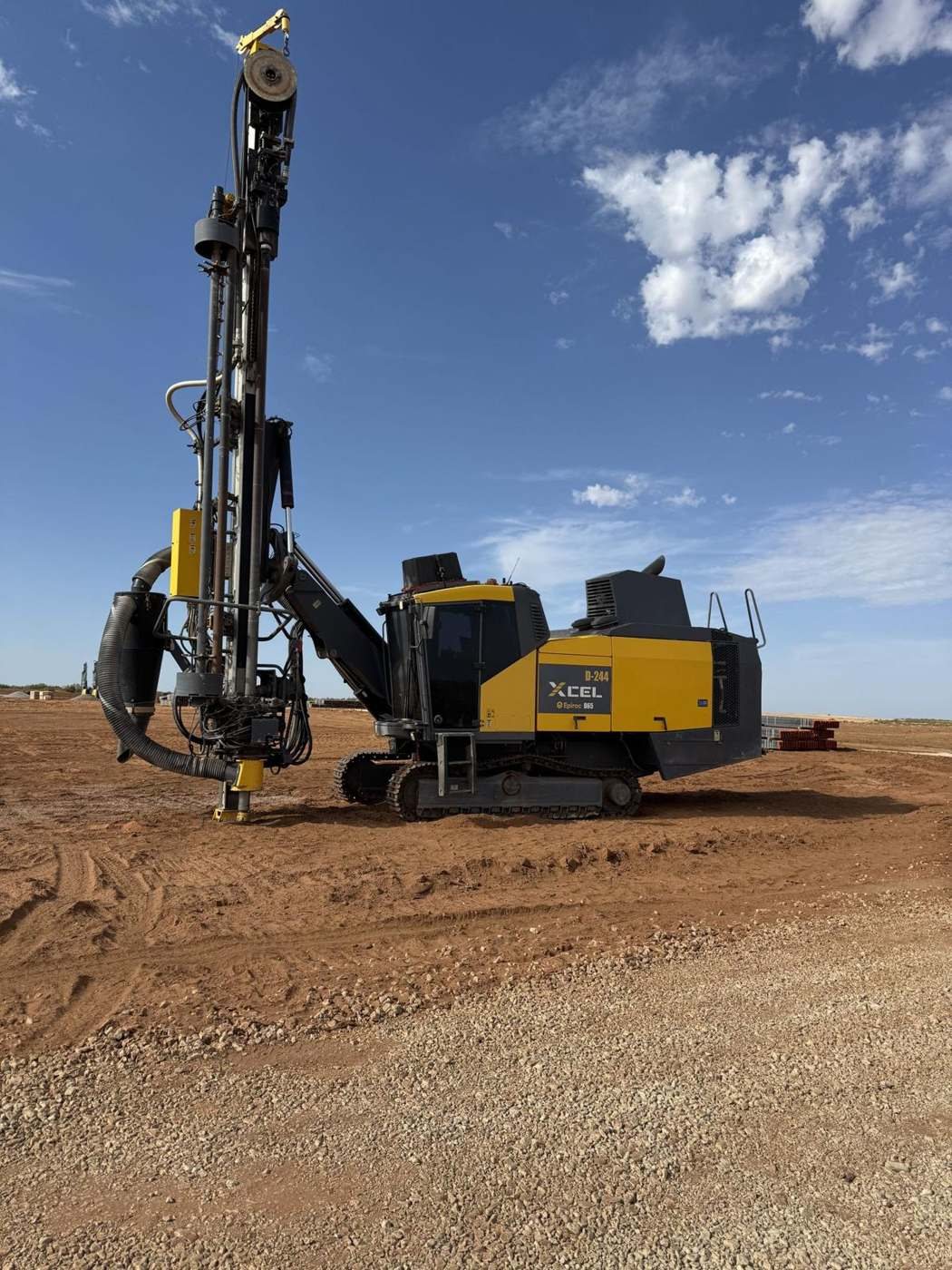
XCEL provides seismic shot hole drilling for oil and gas mapping. We drill 4" to 6" holes with modern Epiroc rigs. Morooka MST1000V rubber-track carriers with fuel service beds keep rigs running far from the road, and Topcon GNSS RTK positions each hole without cell service.
Production drilling of 4" to 6" shot holes to program depth, up to the maximum depth capability of our rigs, logged hole by hole. Rock Drilling
Rubber-track carriers move fuel and supplies across soft ground, sand and rangeland, so rigs keep drilling instead of waiting on trucks.
Topcon GNSS RTK over UHF radio for hole layout and as-drilled positions on remote lines.
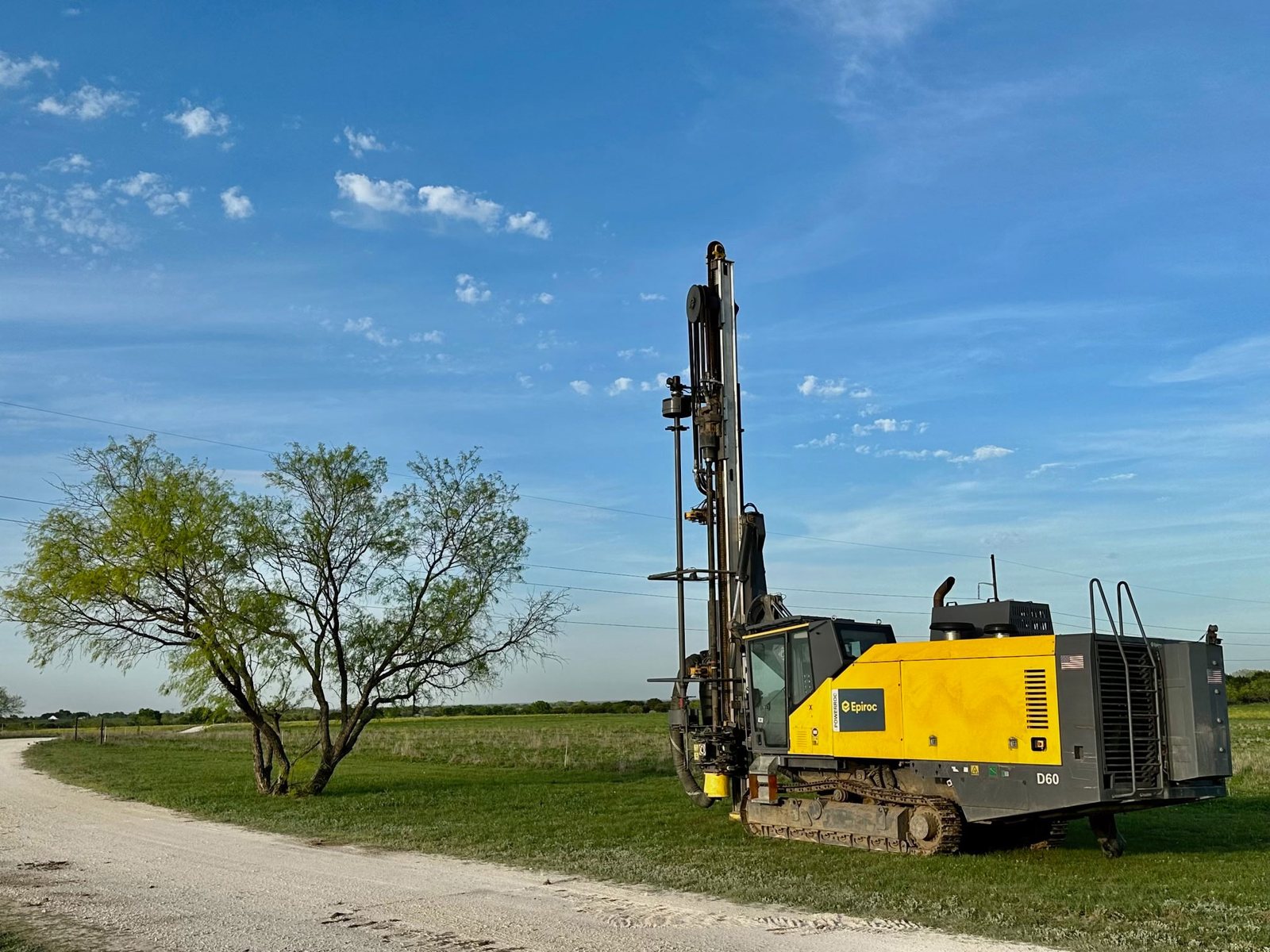
Seismic data is only as good as the shot points behind it. A hole off location, short of depth or left to collapse can mean a gap in the data or a crew sent back to re-drill. We focus on the basics that protect your program:
holes drilled at the surveyed point with GNSS RTK, as-drilled positions recorded
consistent depth control, logged hole by hole
rigs and support sized to the recording schedule
daily production reports and early notice when ground or access changes
organized records for the loading and recording crews that follow
Exploration sites are far from shops and services. Our crews plan for self-sufficient operations: fuel, spares and support travel with the spread. We coordinate rapid mobilization and can run extended shifts to keep a crew on program.
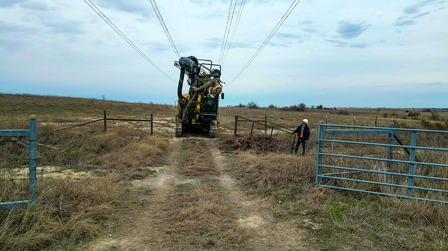
Seismic work crosses ranches, leases and sensitive ground. Our crews follow landowner and permit requirements, stick to approved access routes and leave sites clean. [CLIENT TO CONFIRM any specific environmental practices to state]
Remote work means long drives, wildlife, weather and distance from help. Every crew member holds CPR/First Aid, and we plan emergency response and communication before work starts.
Yes. XCEL drills 4" to 6" seismic shot holes for oil and gas mapping with modern Epiroc rigs. Each hole is drilled at its surveyed point with Topcon GNSS RTK, to the depth your program specifies, and logged hole by hole, so loading and recording crews get clean, organized records.
We drill 4" to 6" shot holes to the depth your program specifies, up to the maximum depth capability of our rigs. Depth is controlled and logged hole by hole, and as-drilled positions are recorded with GNSS RTK. Send us the hole spec and line maps, and we'll match rigs and tooling.
Yes. Morooka MST1000V rubber-track carriers support our rigs across soft ground, sand, rangeland and rough country. Topcon GNSS RTK corrections travel over UHF radio, so positioning works without cell service. Crews plan for self-sufficient operations, with fuel, spares and support traveling with the spread.
Our Morooka MST1000V carriers are set up with fuel service beds, so they bring fuel to the rigs instead of rigs leaving the line to find it. That keeps drilling moving across soft and rough ground where trucks can't get in, and it cuts the downtime that stalls seismic programs far from the road.
Yes. Our newly expanded Epiroc fleet is built for multi-rig programs, so we can size the spread to your recording schedule and add rigs when program dates tighten. We coordinate rapid mobilization, can run extended shifts, and send daily production reports so you always know where the program stands.
Share the hole spec, access and start date. We respond to every quote request within 24 hours.